
Lee County ZIP Code Directory Areas
Lee County delivery geography reaches from Boca Grande and Captiva to Alva, Lehigh Acres, Bonita Springs, and Cape Coral. A ZIP is a mail route, not a city boundary. Use the grouped table to select a likely area, then verify a specific address with USPS.
| ZIP Code | Areas Covered | Post Office | Notes |
|---|---|---|---|
| 33901, 33902 | Central Fort Myers | Fort Myers | 33902 is PO boxes |
| 33903, 33917 | North Fort Myers | North Fort Myers | South/central and north/east |
| 33904, 33909, 33914, 33990, 33991, 33993 | Cape Coral | Cape Coral | Six city areas |
| 33905, 33907, 33908, 33912, 33913, 33916, 33919, 33966 | Fort Myers postal areas | Fort Myers | Several extend outside the city |
| 33920, 33921, 33924 | Alva, Boca Grande, Captiva | Local offices | Rural and island delivery |
| 33922, 33945, 33956 | Bokeelia, Pineland, St. James City | Pine Island | North, middle, south |
| 33928, 33931, 33957 | Estero, Fort Myers Beach, Sanibel | Named offices | Municipal and island areas |
| 33936, 33971, 33972, 33973, 33974, 33976 | Lehigh Acres | Lehigh Acres | Six delivery areas |
| 33965, 33967 | FGCU; San Carlos Park/Three Oaks | Fort Myers name | Institutional and unincorporated |
| 34134, 34135 | Bonita Springs | Bonita Springs | Coastal and inland |
Codes 33908, 33912, 33913, and 33967 include substantial unincorporated land despite the Fort Myers mailing name. FGCU's 33965 is outside Fort Myers limits. Bonita uses the 341 prefix. Unverified special codes should never be published without a USPS check.
The USPS ZIP Code Lookup is the authority for delivery assignment. County GIS boundaries are graphical interpretations built from USPS descriptions.
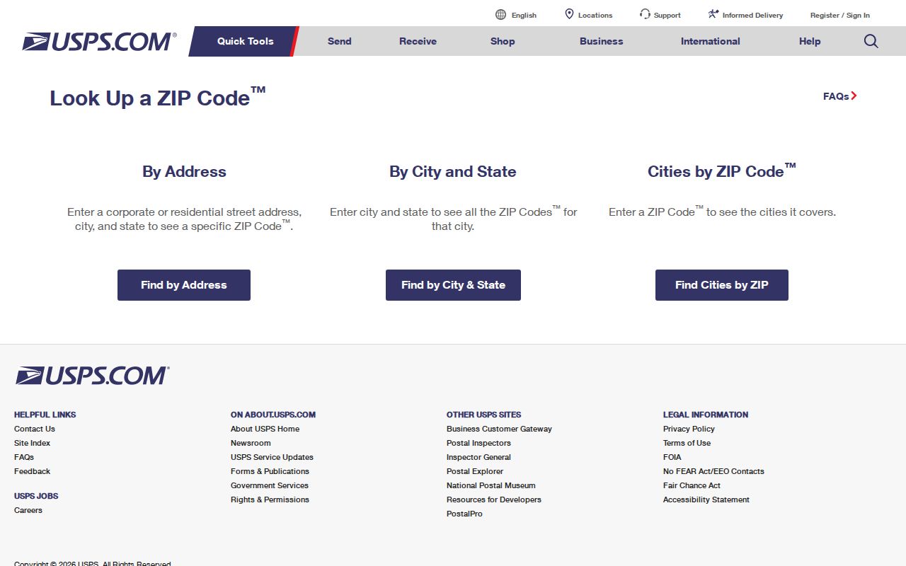
The lookup resolves one deliverable address before a county-record search begins.
Finding Residents in the Lee County ZIP Code Directory
The Lee County Property Appraiser accepts postal code and separates Site Info from Owner Info. Site Info is the physical parcel address. Owner Info is the tax-mail destination, which can be outside Lee County. This distinction matters in a place with seasonal owners and mailing addresses that do not prove occupancy.
- Verify the delivery code through USPS for the full address.
- Search LEEPA property data by site postal code, then inspect situs, mailing address, STRAP, and deed reference.
- Use county GIS for parcel context and jurisdiction, not as final postal proof.
- Request a lawful geographic voter extract from Lee Elections when registered-voter data is relevant; no public voter ZIP browser was verified.
A parcel hit identifies an owner, not every resident. Homestead status can support owner occupancy but is not a household roster. Once a search narrows to a road, continue with the Lee County street directory.
| Address Source | Site Info or Owner Info |
|---|---|
| Postal Code | ZIP for the chosen physical or mailing source |
| STRAP / Folio | Stable parcel identifiers |
| Legal description | Lot, block, plat, and deed geography |
| Grantor / Grantee | Recorded transfer parties |
Lee County ZIP Code Directory and Jurisdiction
A Fort Myers postal city can describe unincorporated San Carlos Park, Three Oaks, Iona, Gateway, or FGCU. The label cannot choose the correct permit office or municipal clerk. Enter the address or STRAP in Lee County's Resident Information Tool to identify municipality, commissioner and school districts, utilities, evacuation information, and public services.
The official ZIP metadata says county boundaries are graphical interpretations built from USPS descriptions. They help with orientation but do not establish delivery assignment or legal jurisdiction.
The county metadata record documents the source and limits of its ZIP layer.
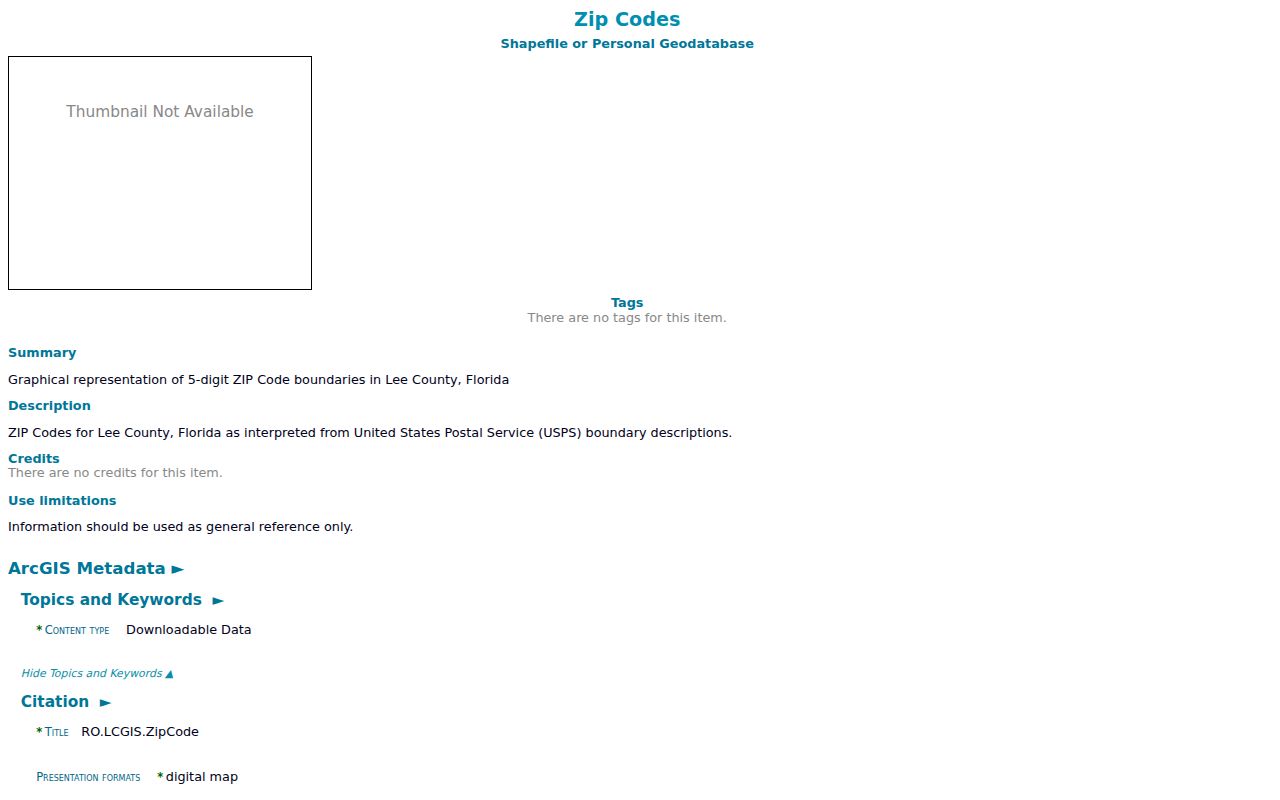
The screenshot reinforces that the mapped polygons are a search aid and delivery still needs USPS confirmation.
- ZIP vs ZIP+4
- The basic five digits plus four digits that narrow delivery to a smaller segment.
- PO-box ZIP
- A code used mainly for post-office boxes, such as 33902.
- Unique ZIP
- A code associated with a large institution, such as FGCU's 33965.
- Carrier route
- A postal delivery path, not a municipal or parcel boundary.
Lee County E911 Addressing
The Lee Public Safety E911 Addressing Office coordinates street names in unincorporated Lee and maintains the 911 address database. Its rules call for consistent numbering, approval of street-name changes, prevention of duplicate names, and correction of odd-even or rural-box errors. A situs address is the physical location used for the parcel and emergency response. It is different from the owner's tax-mail address and from the legal description in a deed or plat.
The Lee County Public Safety page is the direct access point for E911 addressing.

The county office is the right fallback when a street number sequence or unincorporated road name appears inconsistent.
Island and Rural Lee ZIP Checks
Boca Grande's 33921 covers the Lee portion of Gasparilla Island. Captiva uses 33924, while Pine Island is divided among Bokeelia, Pineland, and St. James City codes. Alva's 33920 covers eastern rural Lee. These places need extra care because a broad map view can hide county lines, water boundaries, and long delivery routes.
For each address, confirm the USPS code first. Next, use the Resident Information Tool for government jurisdiction. Then open the Property Appraiser record for parcel identity and legal description. A ZIP-wide result should be treated as a candidate set, not a list of everyone living there. Renters, nonowners, protected voters, and people using a different mailing address will not form one complete public roll.
Lee Elections can produce geographic voter data by a described area through a records request, but the public self-lookup requires first name, last name, birth date, and lawful-use acknowledgment. Protected voters and confidential fields are withheld. Voting history shows participation, never ballot choice. These limits keep the ZIP code directory useful without overstating what one source proves.
Lee County ZIP Voter Requests
Lee Elections documents geographic data products, but its self-service voter-status tool is not a public ZIP-wide browser. An individual status check requires first name, last name, birth date, and a lawful-use acknowledgment. For a defined area, submit a public-record request and describe the geography and fields. Elections accepts requests by phone at 239-533-8683, email at records@lee.vote, fax, mail, or in person at 2480 Thompson Street, third floor, Fort Myers.
Available products include registered-voter, household, district, geographic-area, new-voter, and election-history data. The schedule lists a registered-voter CSV at $10 and election history from 1999 forward at $10. Staff work is billed in 30-minute increments, while extensive work may require a deposit. A clear request for registered voters by residence geography, excluding exempt fields, helps the custodian identify the intended extract.
The result is never a complete resident roll. Nonvoters do not appear. Protected voters and confidential data are withheld. Public voting history identifies elections in which someone participated, never a ballot choice. Update timing can also create differences between an Elections extract and a property record. Keep the production date with the file and do not turn it into an undated claim about everyone in a ZIP.
From Lee County ZIP to Parcel
A ZIP-wide property search can return many parcels, so preserve the identifiers that separate similar addresses. LEEPA exposes a 17-digit STRAP parcel number, an eight-digit Folio ID, situs address, owner mailing address, abbreviated legal description, exemptions, structures, sales, and deed references. STRAP or Folio is more reliable than a loose postal label when street spelling, unit format, or municipal boundaries cause confusion.
After opening a parcel, use its deed instrument number or book and page in Lee Clerk Official Records. That step identifies the recorded transaction and legal description. If the current owner has an out-of-area mailing ZIP, do not replace the property's site ZIP with it. One field locates the land; the other tells the Property Appraiser where tax correspondence goes.
GeoView adds parcel boundaries, adjoining lots, aerials, zoning, and sales context, but it is informational and not a legal survey. The Resident Information Tool adds municipality and service districts. USPS remains the delivery authority. The useful sequence is USPS address check, LEEPA site search, STRAP confirmation, Clerk deed image, then county jurisdiction tools. Each contributes one layer without making the ZIP prove ownership, occupancy, or city limits.